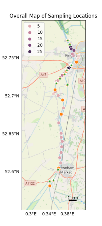
This report aimed to measure concentrations of ions and dissolved gases in the river water of the Great Ouse in Norfolk.
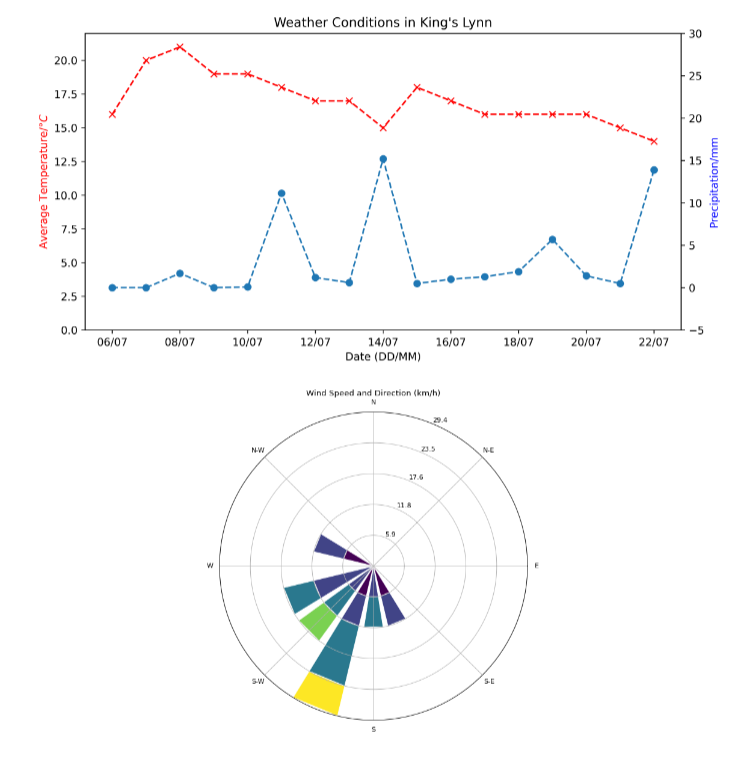
Wetlands like the fens near the Great Ouse estuary are a major source of CH4 emissions, and react to environmental changes (flooding, tides etc.). This means that constraining the relationships with chemistry and tides is of utility.
Abstract
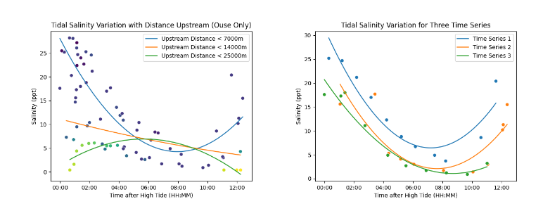
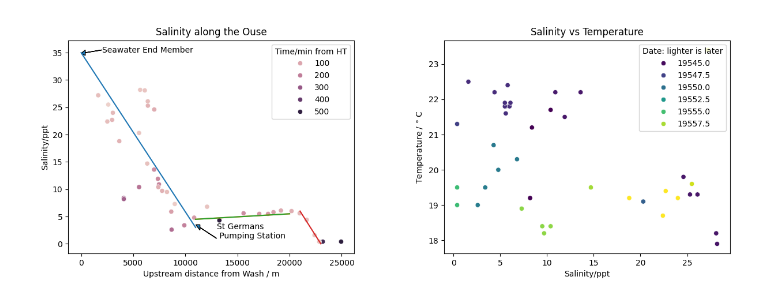
This project aimed to constrain methane concentrations in the Great Ouse. Due to issues with gas analysis methodology, this was not possible. Instead, the associated nutrients, industrial inputs, tidal variation, and spatial gradients were investigated, in order to provide better basis for future work into dissolved CH4 concentrations. We found that Salinity is dominated by the temporal tidal cycle, though there is some dependance on location, especially due to the St Germans pumping station. The impermeable Kimmeridge Clay bedrock prevents any groundwater effects, including allowing Alkalinity to behave conservatively. Nutrient concentrations vary accord- ing to flow rate and location of tributaries. Industrial input provides negligible changes in this area. More work is needed to spatially constrain CH4 concentrations.
Selected Figures